Roaring Brook to Katahdin Stream Campground – 11 miles
The rangers at Baxter State Park kept telling us Mt. Katahdin is “very hard,” but they couldn’t give any more specific details. Coming from a sedentary grouch behind a desk, this description didn’t mean much.
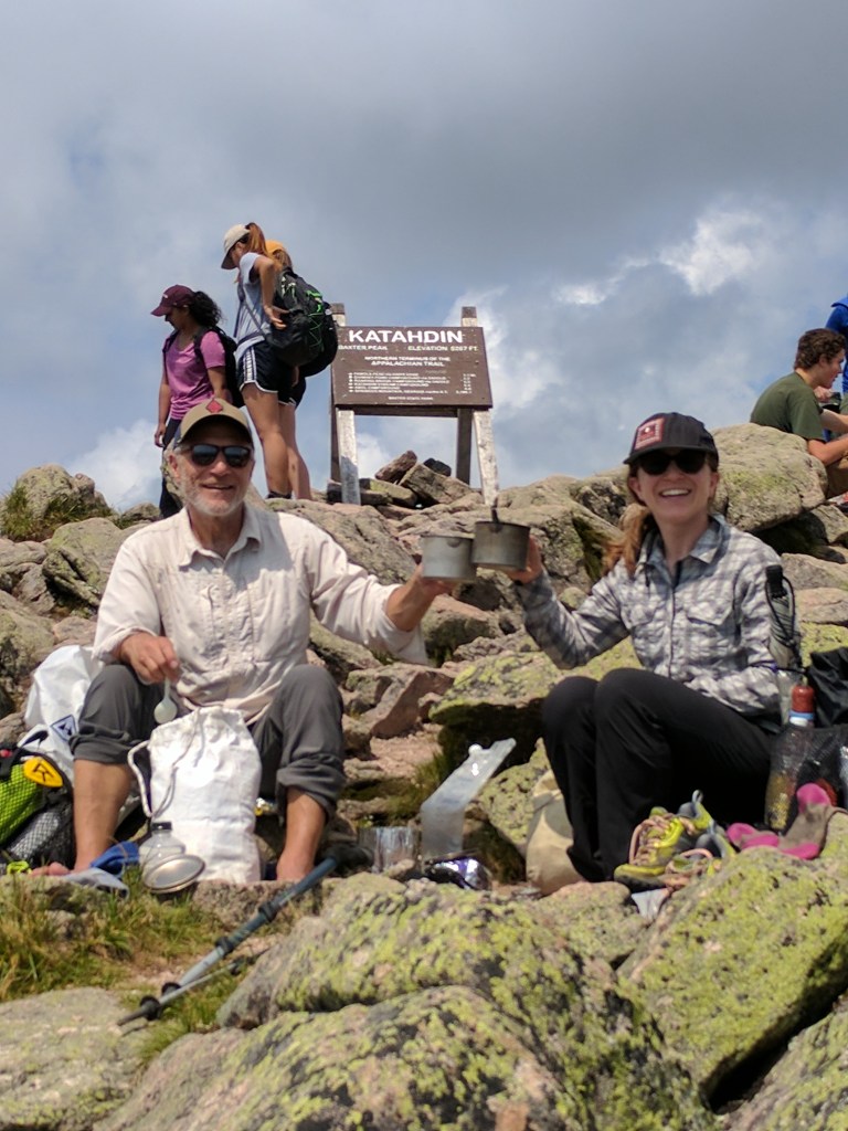
They told us most AT hikers camp on the south side of the mountain and take a ranger-provided day pack to the summit and back. I expected more hikers to follow the “true to the thru” mentality that was so ingrained in me from the PCT: connect footsteps, carry your pack the whole way (no “slackpacking”), and don’t skip sections. With this in mind, Dad and I told the ranger our plan to camp on the north side of the mountain and hike up and over with our packs, completing a one way hike. Two different rangers shook their heads in disapproval but wouldn’t clarify why.
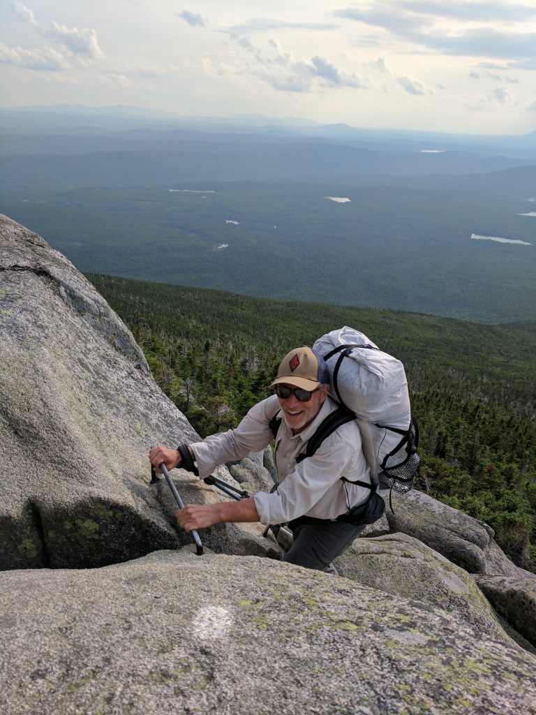
On our climb we found out the paths up Katahdin are not trails in the conventional sense, but more like climbing routes. We waded down a stream, ascended a rockslide path hand over hand, traversed a narrow ridge, followed spray paint blazes down a 2,000 foot boulder scramble, and lowered ourselves down artificial aids bolted into the rocks… all with our packs on. This would have been helpful for the rangers to explain.
Luckily, the Appalachians are old mountains and I wasn’t too worried about pulling down a boulder on myself or sending a bowling ball cascading down onto Dad. The rock pile has been around for 480 million years, so it should hold.
One passerby told us, “after the monkey bars, it’s a walk in the woods.” We’ll see about that.